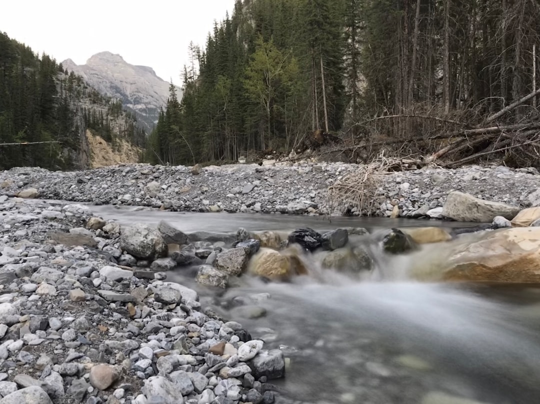
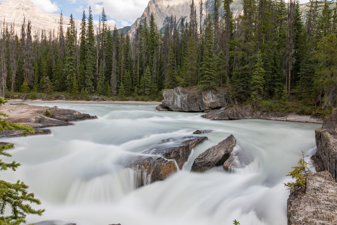
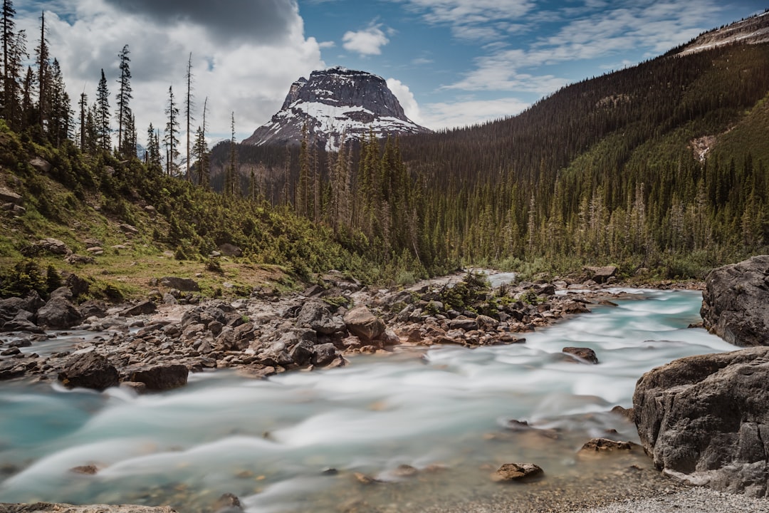
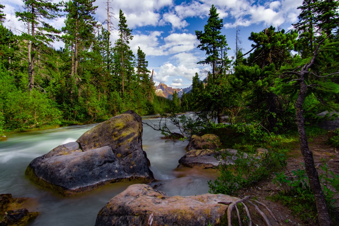
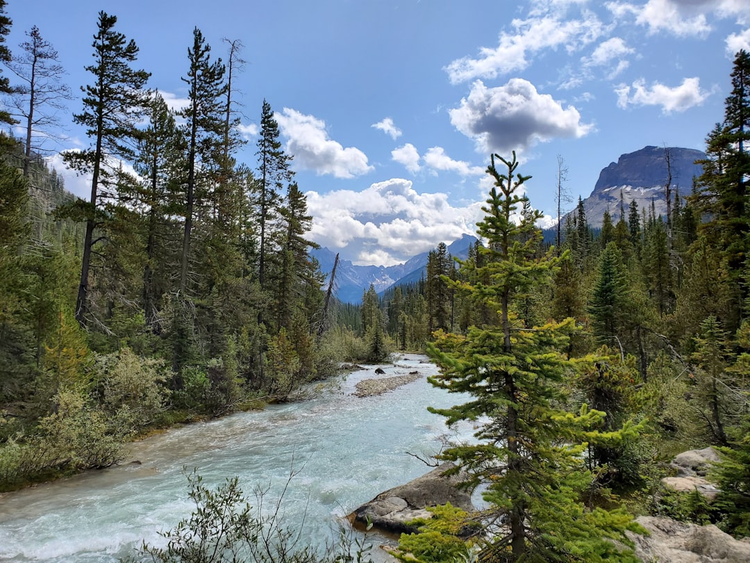
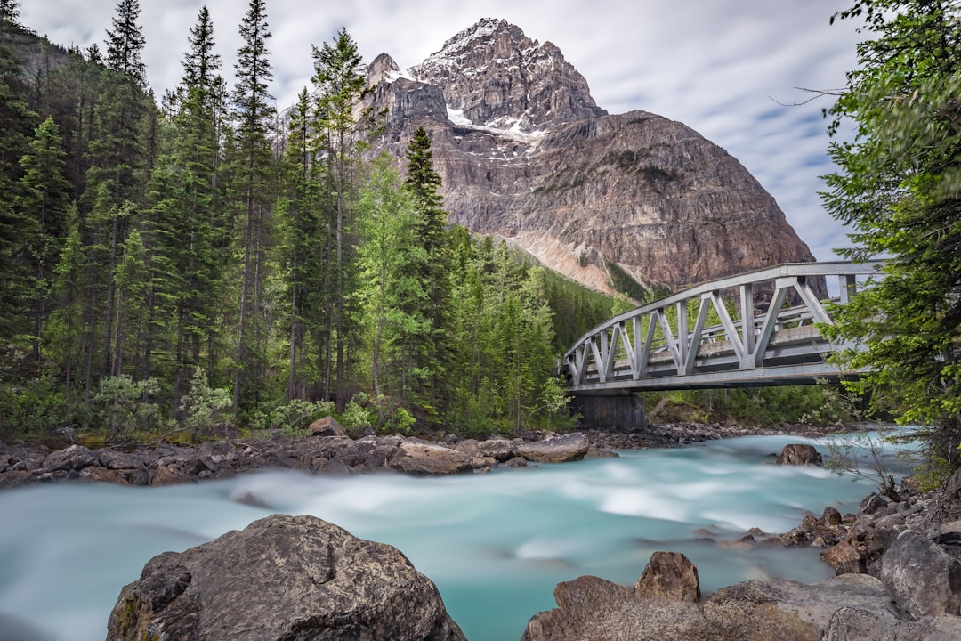
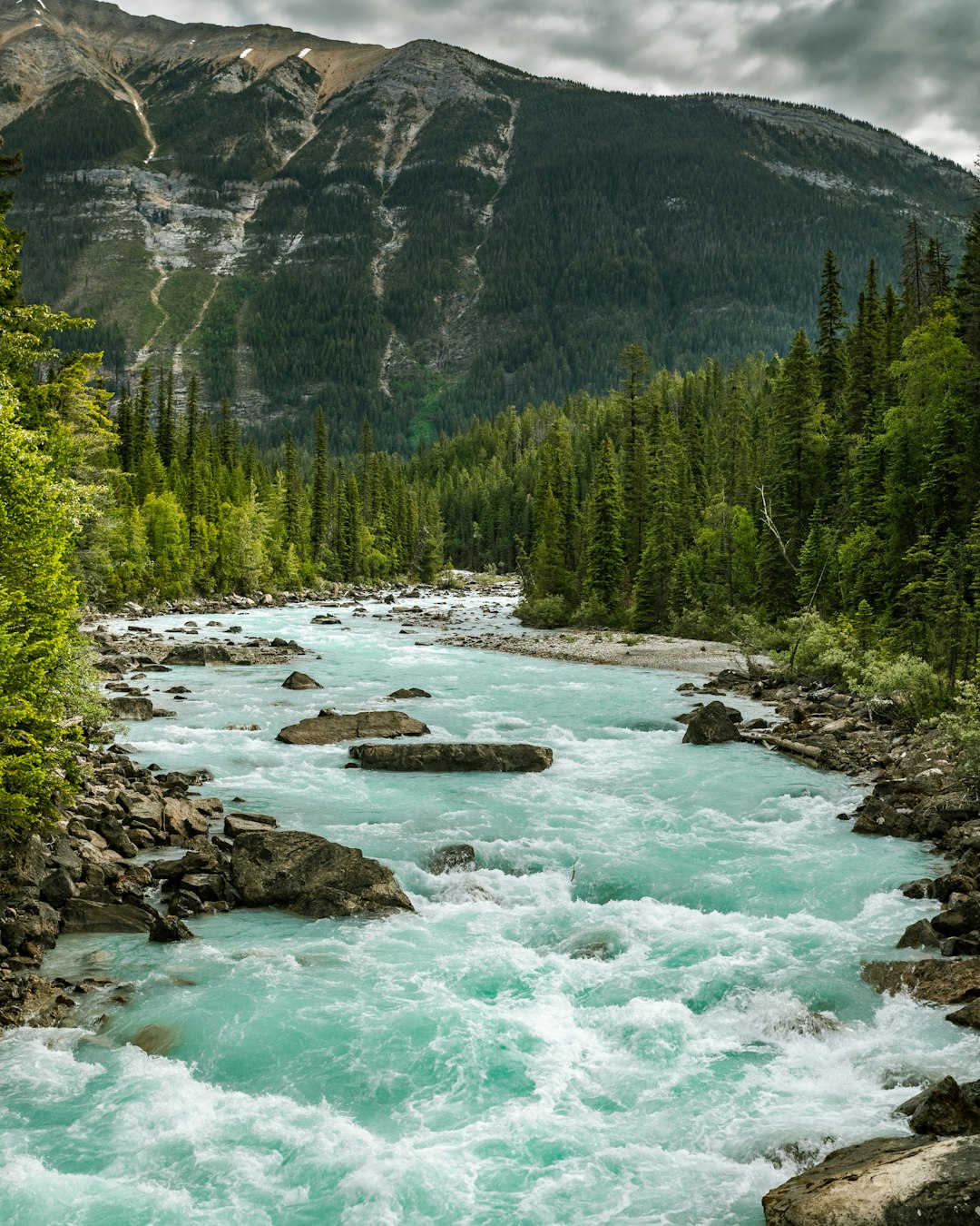
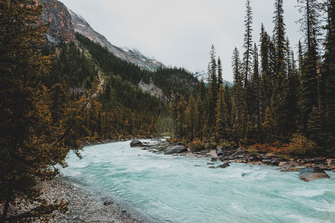
The Best Mountain river Photo Spots around Vermilion Crossing in Canada
Explore Mountain river pictures of Vermilion Crossing with the travel spots on a map
Download the Travel Map of Canada on Google Maps here
8 Mountain river Spots of Vermilion Crossing on a Map
Pictures of Mountain river on the interacive map of Vermilion Crossing
Download On Google Maps 🗺️📲Mountain river Spots and Pictures around Vermilion Crossing
Discover popular destinations in Vermilion Crossing with their travel guides
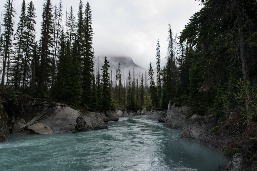
Vermilion Crossing
Read the Travel guide View on Google Maps
Banff
33 km away from Vermilion Crossing
Read the Travel guide View on Google Maps
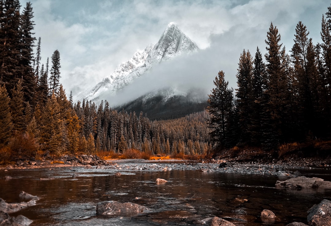
Cone Mountain
39 km away from Vermilion Crossing
Read the Travel guide View on Google Maps
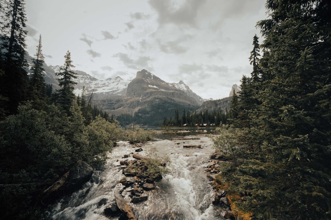
Lake O'Hara
44 km away from Vermilion Crossing
Read the Travel guide View on Google Maps
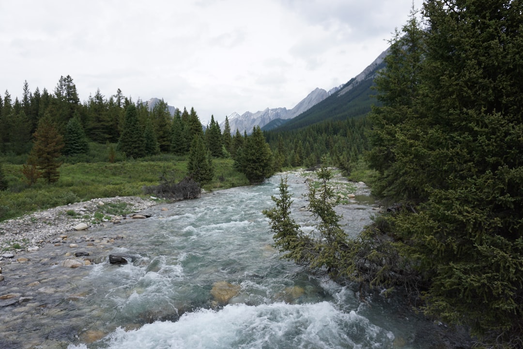
Bow Valley Provincial Park - Kananaskis Country
47 km away from Vermilion Crossing
Read the Travel guide View on Google Maps
Field
54 km away from Vermilion Crossing
Read the Travel guide View on Google Maps
Takakkaw Falls
63 km away from Vermilion Crossing
Read the Travel guide View on Google Maps
Yoho National Park
65 km away from Vermilion Crossing
Read the Travel guide View on Google Maps

Book your Travel Experience in Vermilion Crossing
Discover the best tours and activities in Vermilion Crossing and book your travel experience today with our booking partners
Learn More about Vermilion Crossing
Find Hotels in Vermilion Crossing
Discover the best hotels around Vermilion Crossing, Canada and book your stay today with our booking partner booking.com